

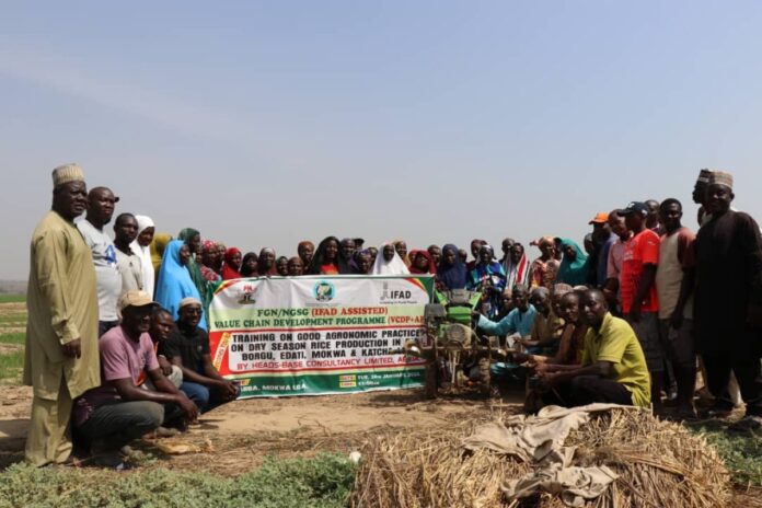
The Geohazards Risk Mapping Initiative (GRMI), a Nigeria-based non-profit organisation, has supported rice farmers in Katcha Ward, Niger State, with climate-smart agriculture training and flood-tolerant rice seeds as part of efforts to reduce agricultural losses caused by recurring floods.
The intervention, conducted on July 10, 2026, benefited 20 members of the local farmers’ association. Each farmer received 10 kilograms of FARO 67, a rice variety developed to withstand temporary flooding.
Beyond the distribution of seeds, the farmers underwent practical training covering improved cultivation techniques, crop management and seed preservation. The initiative is aimed at strengthening their ability to cope with climate-related risks.
GRMI said its approach combines scientific flood-risk mapping with climate-resilient agricultural practices, enabling vulnerable communities to better prepare for recurring floods and reduce their potential impact.
Speaking on the intervention, GRMI Founder Taiwo Ogunwumi said the organisation was working to convert scientific knowledge into practical measures for communities facing climate-related disasters.
He noted that farmers frequently bear the consequences of repeated flooding despite years of reports and recommendations, highlighting the importance of converting flood-risk information into timely interventions.
Ogunwumi explained that Katcha was chosen because of its significant exposure to flooding and its importance as a rice-producing community.
The FARO 67 variety supplied to the farmers contains the SUB1A gene, which allows rice plants to survive complete submergence for up to two weeks and recover after floodwaters recede.
The variety was released in Nigeria in 2017 through a conventional breeding programme led by the International Rice Research Institute (IRRI) and the Africa Rice Centre, working with the National Cereals Research Institute (NCRI), Badeggi.
GRMI’s Head of Research and Innovation, Kayode Adeniyi, said the intervention followed an assessment of flooding patterns in Katcha using radar imagery from the European Space Agency’s Sentinel-1 satellites.
According to Adeniyi, GRMI examined flood data covering 2020 to 2025 and determined that approximately 65 per cent of the ward’s land is devoted to rice cultivation. This leaves substantial portions of farming areas exposed to severe flooding.
He said developments in cloud-based geospatial technology and artificial intelligence have shortened the time needed to process satellite imagery, allowing flood-risk information to be produced more quickly for timely interventions.
Adeniyi stressed that technological advances should be directed toward solving practical problems confronting vulnerable communities, particularly by helping farmers obtain resilient seeds and prepare for flooding before it happens.
Also speaking, GRMI Field Project Manager Hussaini Usman said the organisation would monitor the performance of FARO 67 throughout the growing season.
He said GRMI would work alongside the farmers to document the variety’s performance under local conditions and determine how effectively it withstands flooding.
Katcha is situated on the floodplains of the River Niger and has suffered repeated flooding in recent years, causing significant agricultural losses among farmers.
The affected farmers include Idris Mohammed, who lost two hectares of rice during the previous year’s floods.
Another farmer, Nda Bala, saw his expected harvest fall from approximately 30 bags of paddy to eight bags after floodwaters submerged his farm.
GRMI said the intervention contributes to Nigeria’s commitment to the Sendai Framework for Disaster Risk Reduction by strengthening disaster preparedness and building community resilience before disasters strike.
Source: MSMEAfrica
Do you want to share your impact stories or pitch the coverage of your CSR event to us? E-mail: editor@impactwatch.net or *Phone +234-806-795-0250 (Whatsapp &Text)


